We may earn money or products from the companies mentioned in this post, but this does NOT cost you anything extra! Check out my full disclosure for more info.
I told myself that I wouldn’t do another review until I got some other posts out of the way.
Then I started thinking about AllTrails, the newest app on my phone. I LOVE IT and highly recommend you check it out!
In my defense, I have mentioned the AllTrails phone application a few times in different posts. So it is a perfect time to write a quick review.
A Quick Story
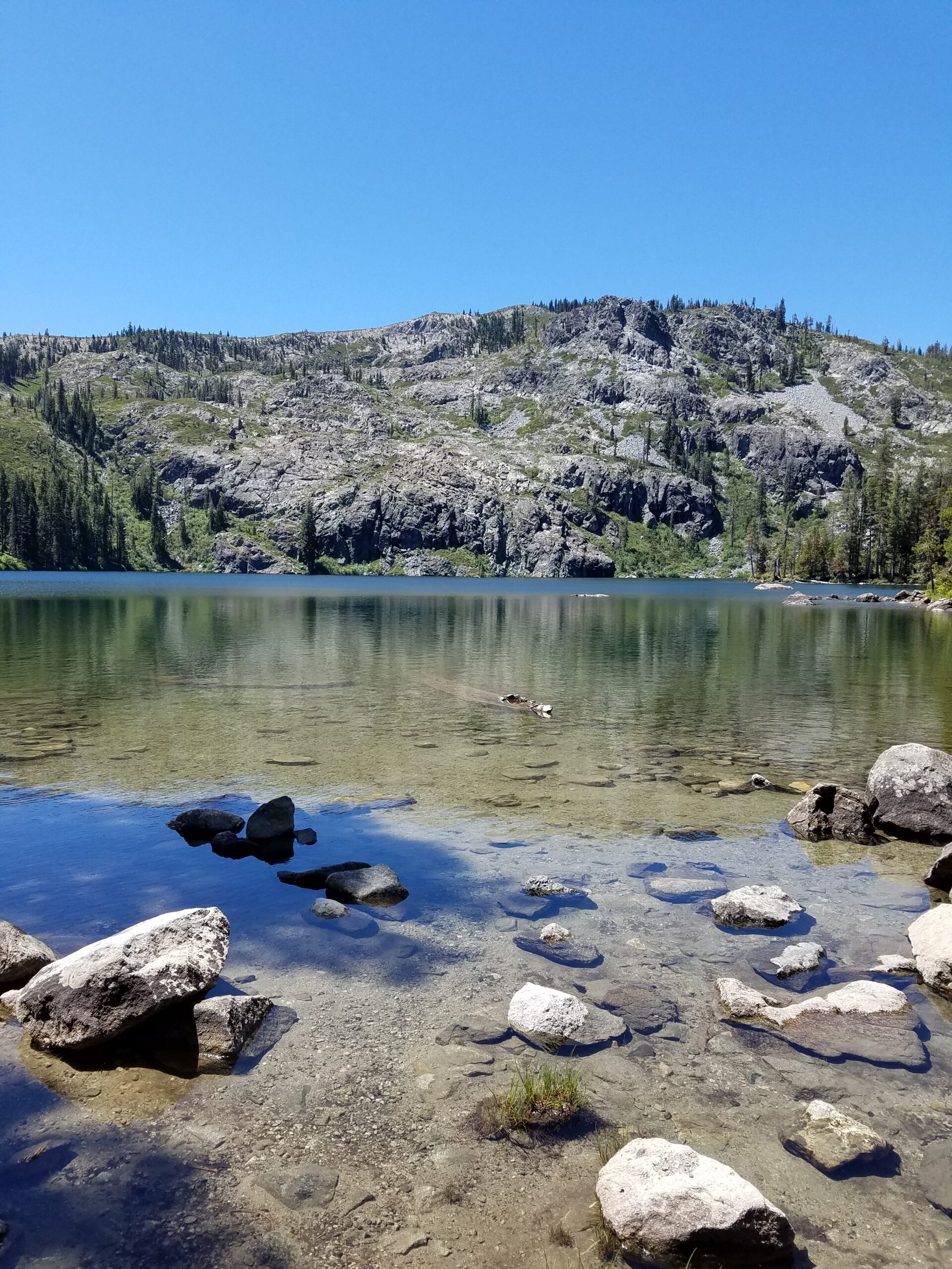
The last time I was at Mount Shasta, I got lost on a hike.
A friend had told me about it, and I was excited to check it out. My overall goal was to see a few lakes and get a great view of the mountain.
To help prepare for this short adventure, I looked on Google Maps.
I could see a few photos others had taken and even found a nearby parking location to leave my car (got to love the satellite view).
When the day arrived, I made sure I got an early start. I was quickly able to get to the trailhead and made sure I had some snacks and water.
Then, I opened Google Maps and put a pin where I parked.
I have made the mistake of not doing this, and let’s say, at times, it takes me a while to find where I parked.
The hike started like most, and it was great being in a new area and taking in the sights and sounds.
After a few miles, I found entered a large meadow and couldn’t see where the trail was leading. I walked around for a while and couldn’t pick up the trail anywhere.
Eventually, I found another hiker doing the same thing.
We eventually found a few different sections of trails, but none we wanted to go on. We both had a digital map on our phones but couldn’t locate the trail.
After a while, we decided to take the next section of our hike together.
It didn’t take long for us to find yet another split in the road, one to the right, one to the left. 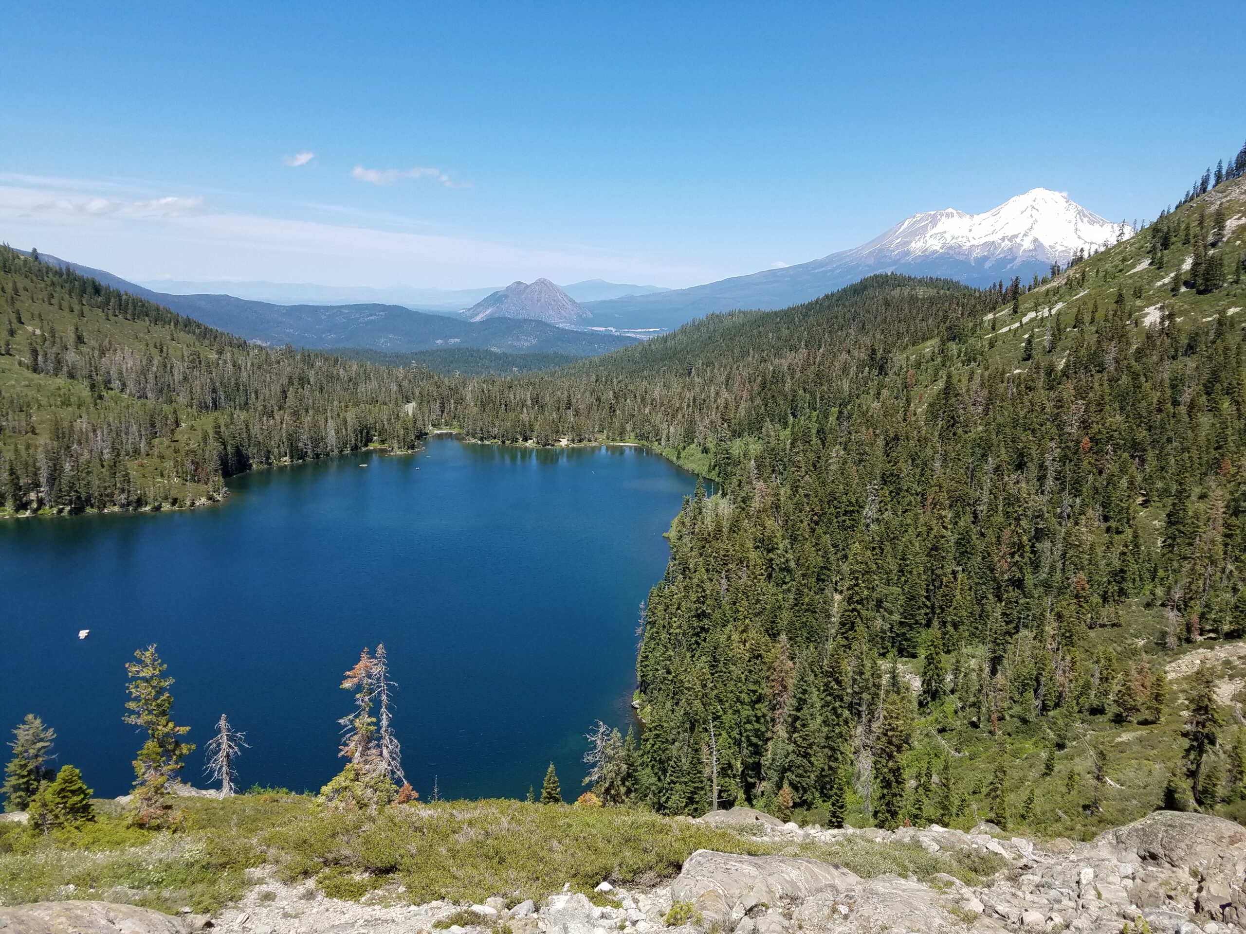 My original plan was to get views, so I went left. My companion decided to go right.
After we parted ways, it didn’t take long for me to lose the trail again.
I was a few miles in and wanted to continue to the photos I saw online.
So I started doing what anyone in my situation would do. I looked up, saw a mountain, and made my way through the brush, manzanita, and unpleasant rocks in my way. I went straight up a mountain and eventually got to the top.
I did not see the initial photos online, but it was still amazing.
After enjoying my climb and eating a snack at the top of the mountain, I realized I didn’t know where I was.
I looked at the pin I placed on my map, and it was not easy to get back.
Not to mention, I no longer could see the ‘trail.’ I slowly started my way back down the mountain. I did have some issues getting down and eventually found the trail.
Then, I’m sure you guessed it, after a few miles, I realized I saw things I didn’t see before.
Yep, I was on the wrong trail.
All I had to go on was the pin I placed on my digital map. It didn’t help that I could not see the topography on the map, much less any nearby trails.
My phone was quickly losing battery power to make it more of an adventure. One thing that I know is always to be prepared, and I have learned from prior mishaps to bring a backup battery.
The positive of this story is that I eventually found my way back. It took a lot longer than I had anticipated, hours longer. I would be lying if I didn’t admit that I got frustrated with this whole process.
Leading me to my hunt for a map I could use on my phone that I will always have with me.
The Hunt Led Me To AllTrails
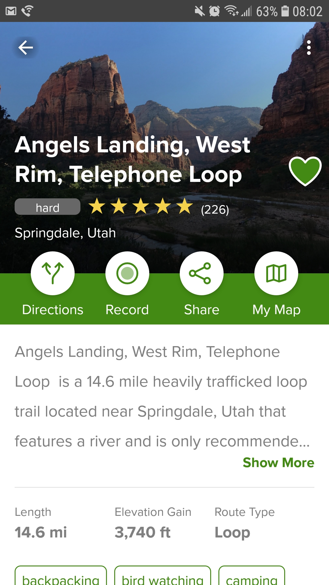 In my quest for a simple navigation app, I found many out there.
Most have standard features and seem to have a free and paid-for version. Being frugal, I focused on the free versions.
I find a trail map to be handy, but I also want to search for hikes in different locations.
I find this useful because sometimes I’m passing through an area or new to an area—what better way than to go on a walk and get some fresh air?
Personally, when I have looked online for a hike, the responses have been mixed at both.
I have recently been interested in knowing the elevation of the area I’m hiking. And, I’m sure I’m, like most, getting any additional information I can get about the trail that I can get.
So, let’s get to the most crucial question you might have.
Does this app work? I would say YES!
I don’t have an awful sense of direction, but I also don’t have the best.
I’m happy to report that I haven’t gotten lost once since I have been using AllTrails! I have used different apps and maps on my phone, but this is BY FAR the best I have used.
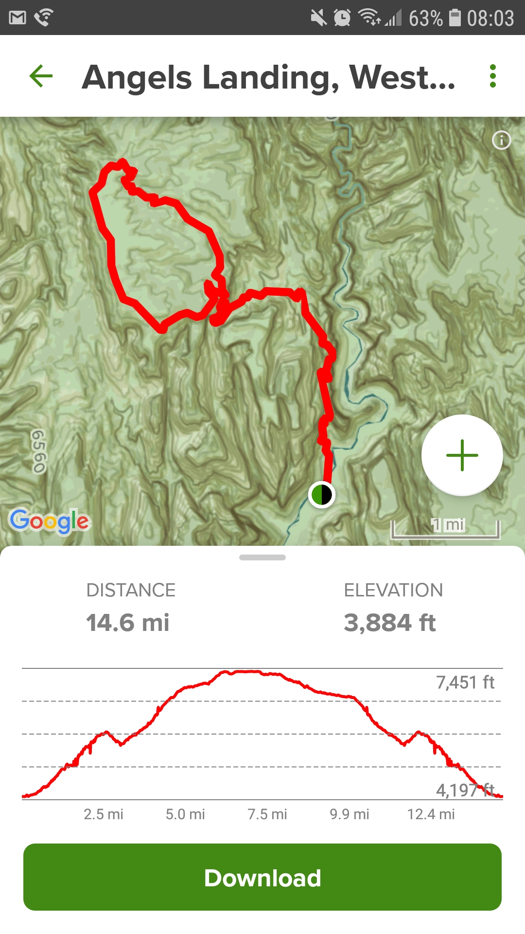
I tested AllTrails using the “breadcrumb” and the navigation trail mode.
I have used the app in different states, terrain, mountains, and even a few cities (so that I remember where I parked).
That brings up another cool feature. Not only will you get directions for the trail you want to go on, but you can even get directions to the trailhead itself! How cool is that?
There is a Free Version
Yep, this app has a free version. I hope I have convinced you to check out this fantastic app. If not, let me continue.
The free version has a few features I like, such as:
- Recording your trial activity
- Creating a custom map
- Finding trails in your area
- Reading reviews of people that have gone on the trail
- You can keep track of your favorite trails
My goal is to give you a taste and get you inspired. I would suggest going to their site or phone app and seeing all their features.
I used the free version for a few weeks on local hikes.
I liked it but found there were a few things I wanted that it didn’t offer. The biggest one for me is downloading the trail map to my phone.
Upgrading For Pro
Now that you know a little about the free version. What is the next step? It’s to upgrade to Pro!
If you are wondering, the answer is yes. I have upgraded to the Pro version. I am thrilled with my decision, as this is one of the few apps I have paid for. I like the additional features that are included.
With the Pro version, you get a lot more, like
- My favorite download maps for offline navigation (this is the game-changer)
- Turn notification, almost like a vehicle GPS
- Lifeline, which is a safety feature (did this for you, Mum)
- Trail knowledge, like being able to view different map overlays
- Ability to print maps for backup
- Not a dealbreaker to me, but the Pro is ad-free
The App Downside
The biggest downside of using AllTrails is that my cell phone battery goes down fairly quickly.
If you think about it, I am in places that do not have great cell reception with my GPS on, which leads to my phone continuously searching for a signal.
The fix I came up with is keeping an extra battery with me on hikes.
It’s awful to look at your phone only to see it’s dead. Having a spare battery is always smart and gives me peace of mind.
I have a lot of different batteries, but my two favorites are Goal Zero and Anker.
As a test, the last hike it went on was about four hours in a city. I had a good cell signal and was using GPS.
I estimate my phone lost a crazy 75% of its battery life! I will also add that my phone is four years old, and I’m considering buying a new one.
I did have my Anker battery with me if I needed it, but this was more of a test to see how the phone would respond.
In the next few weeks, I have more hikes lined up and will test my phone battery on them (one of which I know I will not have cell reception). Another idea I had is to try using my phone in airplane mode and see if that helps battery life.
AllTrails Has Been Great, but There is Something Better!
If you haven’t guessed yet, or you are skipping to the end, YES, I recommend getting AllTrails.
I have found a ton of hikes that I want to go on.
The reviews are fantastic and have helped me decide if I want to go. I have even created a few folders and loaded the maps so they will be easy to search for.
As an example, a friend just called and asked to go on a hike. Since I was writing this article, I looked up the trail name.
To my surprise (not really), I found it, and a review from yesterday is already on there. I downloaded the offline map, got information like it will be nine miles round trip, and there is a 1,740′ elevation gain. Technology is truly amazing!
Now it’s time for you to let me know your last hike.
The more we get, the better, and I need to get outside more, so I’m excited to hear your answers. Happy trails!
Have you tried AllTrails?
If so, I need to know what you think about it. Let me know in the comments below!
I’ve been testing out a new (to me) GPS service that I might like more than AllTrails. Stay tuned for that review later!
Thumbs up to you and Lifeline. I’ll take any peace of mind I can get while you are on your epic adventures!
That was one of the reasons I got it. Way cool, and thanks for the comment!